Older residents may recall there was another footbridge over the railway at one time, at the end of Marywood Square. It was erected between 1895 and 1910 (it first appears on the 1910 OS Map). The gate and foundation are still visible on the embankment. It was latterly the property of Strathclyde Regional Council, but was closed due to metal fatigue in the summer of 1993, and was taken down on Sunday 8th May 1994. (Strathbungo News, 1994)
The only known photographs of it are the one above, courtesy John Robin, and this one.

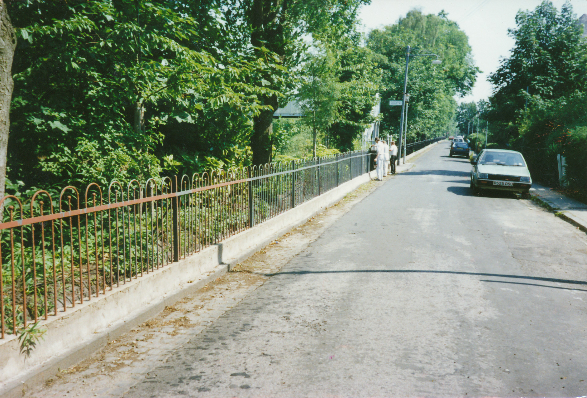
Railings after fence and concrete repair and painting, circa 1990. Courtesy John Devitt.
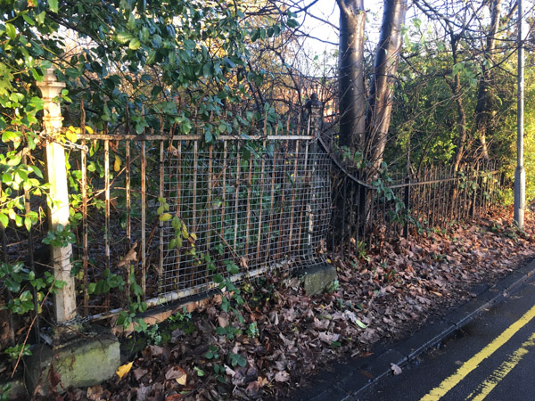
Below, in 2016 all that remained were the gate to the footbridge, and a short length of spiked railings, in the undergrowth at the end of Marywood Square. Some of this disappeared in 2017 when Network Rail replaced the fencing. The footings of the bridge can just about be seen the other side of the fence, as can the bricked up exit on Darnley Road.

Remains of Strathbungo Footbridge, November 2016


June 30, 2020 at 8:32 pm
Andrew, do you know what the other little late 19th c. gate in the railings opposite 23 Moray Place led to? Perhaps for railway company access to track?
June 30, 2020 at 11:01 pm
No idea, though it is roughly at the end of the Strathbungo Station southbound platform, so may have been for staff access, or maybe even passengers?
January 2, 2021 at 6:44 pm
was it close to the signal post at the platform end in the UP (Carlisle) direction? Semaphore signals were lit by oil lamps which required maintenance and might have been for access?
January 2, 2021 at 7:59 pm
It’s half way between Queen Square and Marywood Square, level with the end of the platform. The signal post was at the end of Marywood Square on the oldest maps, and a few yards nearer the gate after they put up the footbridge at Marywood Square. The signal is still there (outside my window as it happens), but it’s LED now.