
Introduction
The line of the boundary between the railway line (Network Rail’s property) and Moray Place has been an issue of debate for some time, most notably when Network Rail began clearing vegetation from the line in 2004-05.

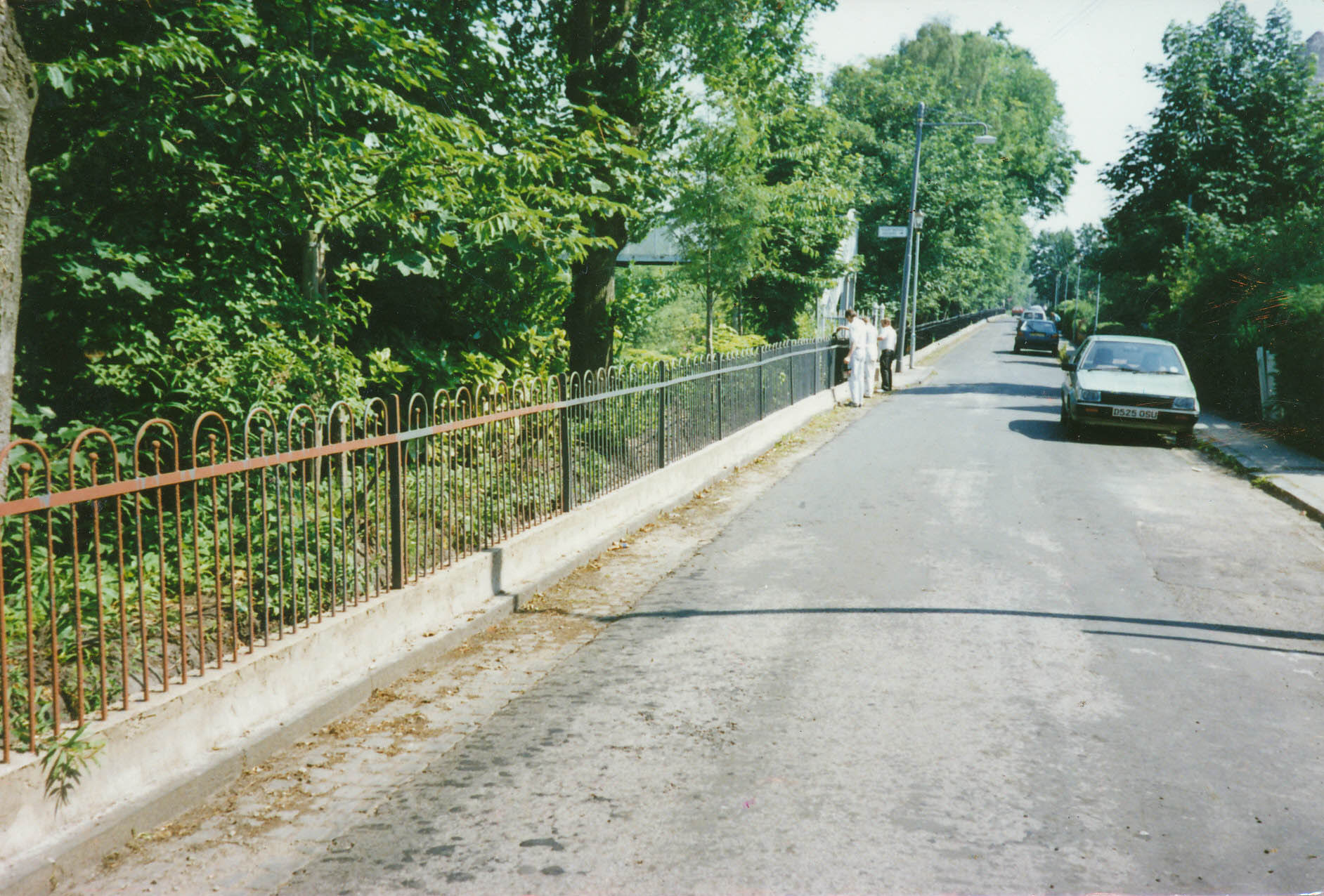
18-25 Moray Place 2004
Same view, 2005 after vegetation management. The one remaining tree was removed shortly after.
More recently they proposed further vegetation clearance to renew the boundary fence in January 2015. They planned to remove the metal hooped fence and replace it with a 1.8m high weldmesh fence in the same location. However residents suspected the hooped fence was not on Network Rail’s land.
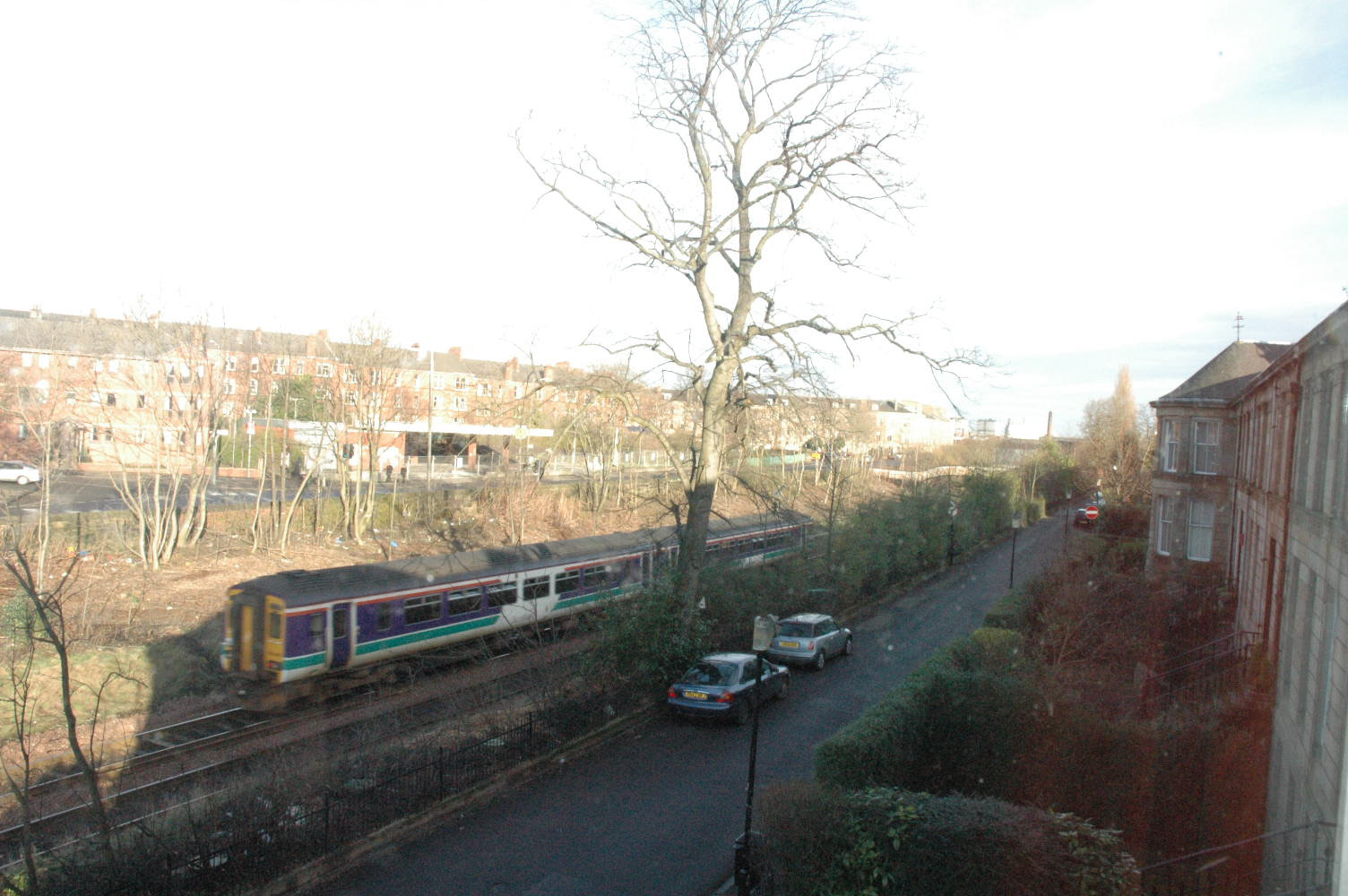
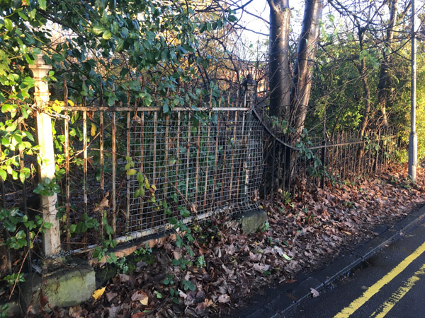
Railings after fence and concrete repair and painting, circa 1990
Negotiations led by the Strathbungo Society centered on two points; firstly the need for a more appropriate fence design, and secondly that it needed to be on their land, further back than the existing fence. Eventually Network Rail conceded, leading to the new fence design erected in February 2017. The following is the historical research that led to their concession regarding the position of the fence. It is recorded here for posterity.


Recent Comments