Category: Maps (page 2 of 3)

The motorway that nearly killed Strathbungo

I have long been aware of a story that Strathbungo was threatened by a motorway in the 1960s, and this was a crucial event in the formation of the Strathbungo Society, but I have never understood how this could be. The M77 perhaps? But that was always going to be further west. So what was the story?

There were occasional hints. A neighbour gave me an old article from Scottish Field dated 1977 in which Mike Stanger, then chair of the Society, described how properties were blighted by the planned South Link motorway, with no one able to get a mortgage, not even on 1-10 Moray Place.

A Society booklet of 1984 recounts the same story .

But what was the South Link? And why did it threaten the very existence of Strathbungo? With thanks to Stuart Baird, of the Glasgow Motorway Archive , we now know. Read on…

Continue reading

Odd ones out – the white houses of Carswell Gardens

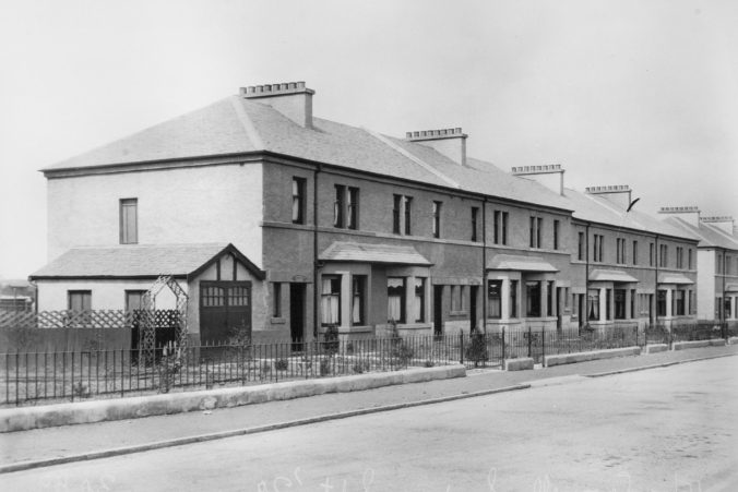
Wandering around Strathbungo, I often wondered why the houses on the south side of Carswell Gardens were different from all the others – a different design, and painted white rather than built in sandstone. Investigating further, with the help of documents from a couple of residents, I have found the answer:

They aren’t actually part of Strathbungo at all.

Before I cause any political upset down that end of the Bungo, I had better explain.

Continue reading

The Railway Boundary at Moray Place

Introduction

The line of the boundary between the railway line (Network Rail’s property) and Moray Place has been an issue of debate for some time, most notably when Network Rail began clearing vegetation from the line in 2004-05.

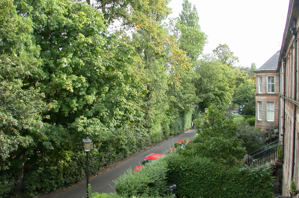
18-25 Moray Place 2004

18-25 Moray Place 2004

Same view, 2005 after vegetation management

Same view, 2005 after vegetation management. The one remaining tree was removed shortly after.

More recently they proposed further vegetation clearance to renew the boundary fence in January 2015. They planned to remove the metal hooped fence and replace it with a 1.8m high weldmesh fence in the same location. However residents suspected the hooped fence was not on Network Rail’s land.

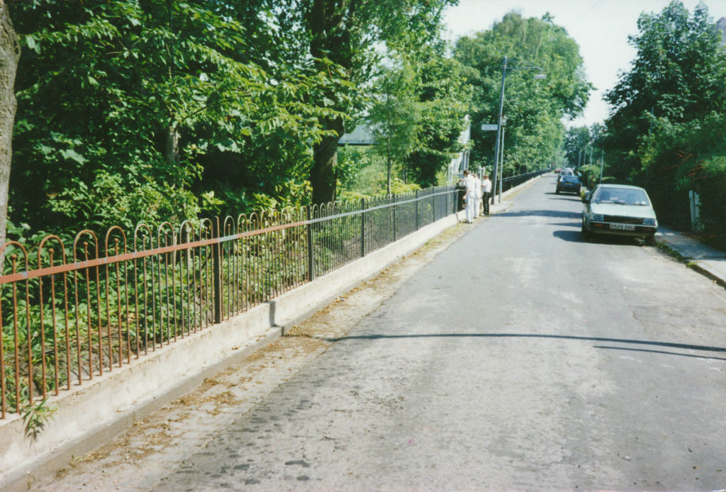
Railings

Railings after fence and concrete repair and painting, circa 1990

Negotiations led by the Strathbungo Society centered on two points; firstly the need for a more appropriate fence design, and secondly that it needed to be on their land, further back than the existing fence. Eventually Network Rail conceded, leading to the new fence design erected in February 2017. The following is the historical research that led to their concession regarding the position of the fence. It is recorded here for posterity.

Continue reading

« Older posts Newer posts »

© 2025 Bygone Bungo

Theme by Anders NorĂ©nUp ↑