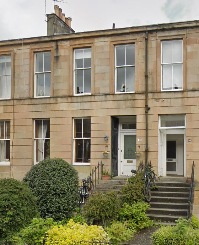
Govan parish covered the village of Govan, but included the village of Partick inconveniently over the river, and Strathbungo to the east. There was a small community at Bridgend at the southern end of Glasgow Bridge. From 1730 there was a chapel in the expanding Bridgend, now the Gorbals,, and from 1771 Gorbals became its own parish latterly the minister being Dr James Maclean until his death in 1833. (A later Gorbals parish Church built 1806-10 by David Hamilton, demolished 1973 – Glasgow Story) A month after Gorbals was formed, Polmadie and Little Govan were added, as they lay to the east of the new parish (1845 Stat Acc). Strathbungo parishoners were inclined to walk to Gorbals rather than Govan for their services. So Dr Leishman, minister of Govan, appointed a licentiate to work at a new mission station at Strathbungo. (Munro book)
1837 (first church was built 1838)
Report of the Commissioners of religious instruction, Scotland v.2, Govan Parish (on file)
M Leishman, Minister of the Parish of Govan (since 1821 – Munro’s book)
There is a preaching station at Strathbungo . Divine service has been performed there regu larly every Sabbath day , at the usual canonical hours , for upwards of three years . The salary of the Rev. Duncan Lennie , the missionary , is L.41 , provided partly by collections and sub . scriptions , and by a donation of L.20 from the Parish Home Missionary Society . In Strathbungo , 36 persons on an aver age , attend divine service there .
There are in the parish , taught by members of the Established Church , with the friendly -co operation of one Dissenter , eight Sabbath Schools , in which there are 356 scholars .
On questioning, Partick part of the parish on the wrong side of river. Population of Strathbungo 575. Place of worship in Strathbungo is just a schoolroom, houses 100. L75 collected to build a place of worship in Strathbungo. Partick cost L1,000
Duncan Lennie, Missionary at the Strathbungo preaching station
Missionary since Dec 1833
Average attendance 36, seated for 80
Salary L41, L20 from Govan Home Mission Society, rest from contributions
Populaton not in the habit of church going. 83 families with pop of 439, 316 of the established church, 123 dissenters, 107 in village with no church connection whatsoever. Attributed to want of religious feeling, poverty and distance from a place of worship.
Intemperance a problem with six pubs in the village.
School belongs to a body of subscribers, built on Maxwell land, which he may resume if he pleases on paying the value of the buildings. School was built partly to act as a missionary station. treasurer nathaniel Stevenson.
Village is poor, mainly weavers and widows. 35 heads are weavers, pop 107 above 12. There are 18 heads who are widows, 60 above 12 years.
Mr Stevenson was the first preacher 12 to 18 months before my appointment (so mid 1832). I was the first appointed to preach there regularly.
Munro:
On 28 May 1838 the General Assembly granted a deed of constitution for a new church in Strathbungo and land was purchased from th patrons of Hutchesons’ Hospital. Church built 1839-40 for £1300.
Gorbals Parish
Establsihed 1771, mostly in Lanarkshire, partly in upper ward of Renfrewshire. In 1846 annexed by Glasgow.
Maps
Boundaries of Govan and Cathcart and Eastwood Parishes (and later Gorbals to the north).
Marchtown well described by Munro, even the church was Marchtown Church, Strathbungo initially. First used in maxwell feu-charters c 1741 (same date as map?) There was a Marchtoun Place in Strathbungo also
1845
Strathbungo is in Lanark (Govan) in the statistical accounts, possibly because Govan is mostly Lanarkshire
1795 Account
Dr Pollok writing in 1793 (says Munro): Besides Govan there are “two more in the parish so considerable that in the one, which is a little north fr_om the clyde, there are ll5 families (Partick), and in the other, upon the road to
-Eastwood, 35 (Strathbungo). Few of the houses in any of these have been lately built.’ The old houses, in general, are ill-aired and extremely incommodious.”
1862-64
Battle between Govan and Cathcart parishes about boundary on stream or Pollokshaws Road
1882-85
An 1882-85 Ordnance Gazetteer of Scotland: A Survey of Scottish Topography, Statistical, Biographical and Historical, edited by Francis H. Groome says:
https://www.scottish-places.info/parishes/parhistory789.html#
The burgh of Govanhill is on the S side of the parish close to Crosshill, and a little to the NE of the Queen’s Park. It was constituted a police burgh in 1877, after having, under the name of No Man’s Land, constituted a serious bone of contention between Glasgow and Crosshill, both of which had cast envious eyes on it, each being anxious to include it within its boundaries. It embraces an area of 113 acres, and its affairs are managed by a senior magistrate, 2 junior magistrates, and 6 commissioners, the burgh being divided into 3 wards, returning 3 members each. The burgh rate is 9dper £. When the burgh was formed the valuation was £38,698 and the population 7212, while there were 1721 houses. In 1881-82 the valuation was £40, 753, the population 9636, and the number of houses 2327, of which 336 were uninhabited and 13 were building. There is a post office, with money order and savings’ bank departments.
The burgh of Pollokshields proper or West Pollokshields lies almost in the centre of the southern portion of Govan parish. It was constituted a police burgh in 1876 (having taken alarm at the efforts Glasgow was then making to incorporate the surrounding districts), and is entirely occupied by detached villa residences. Previous to its constitution under the Lindsay Act, the lighting, watching, etc-, were managed by a committee of the inhabitants, the funds being raised by voluntary assessment; but since 1876 the affairs have been attended to by a senior magistrate, 2 junior magistrates, and 6 commissioners. The burgh rate is 9d. per £The burgh has an area of 250 acres, and in 1877-78 the rental was £18,280, the population 1864, and the number of houses 233; in 1881-82 the rental was £26,949, the population 2104, and the number of houses 312, of which 9 were unoccupied and 3 building. East Pollokshields is immediately to the E of the last-mentioned burgh, but, unlike its more aristocratic neighbour, does not consist of detached villas, but of ordinary tenements. It was, under the Lindsay Act, constituted a police burgh in the beginning of 1880, and embraces an area of 160 acres. The affairs are managed by a senior magistrate, 2 junior magistrates, and 6 commissioners. The burgh rate is 7½d. per pound. In 1881-82 the rental was £33,202, the population 4360, and the number of houses 955, of which 91 were unoccupied and 78 were building.
The burgh of Kinning Park lies immediately to the N of Pollokshields, and between it and the Clyde. It has an area of 108 acres. The rapid growth of suburban Glasgow is here well shown, for this district, densely populated as it now is, was yet, some thirty years ago,’a beautiful rural spot, the principal features in the landscape being green fields, waving trees, and lovers’walks, with here and there a charming mansionhouse, while a pure purling stream, called the”Kinning House Burn ” meandered its way down the vale till it joined the comparatively clean waters of the Clyde not far from the Park House Toll, where the road diverges into two branches-the one leading to Paisley, the other to Govan and Renfrew-‘To go to the district was to visit the country, and in due course a pleasant suburb sprang up; but this rapidly changed, owing to the extension of the harbour and the city, and the region was speedily invaded by various public works, bringing with them an artisan population and all the attendant smoke and din. Kinning Park was, under the Lindsay Act, constituted a police burgh in 1871; and its affairs are managed by a senior magistrate, 2 junior magistrates, and 9 commissioners, 3 representatives being returned from each of 4 wards. The income in 1881 was £3320, 11s-, and the burgh rate was 10½d. per £In 1871 the rental was £28,355, and the population 7214; in 1877-78 the population had risen to 11,825; but since then there has been a slight falling off, for in 1881 the rental was £47,844 and the population 11, 552, while there were 2839 houses, of which 445 were uninhabited. These are the whole of the police burghs in the part of the parish on the S side of the Clyde, but the inhabited area is rapidly spreading along by Plantation and on the Paisley Road as far as Ibrox and Bellahouston, and the village of Strathbungo on the SE is rapidly becoming a considerable suburb.
In 1891 Strathbungo (& Pollokshields, Pollokshields East & Polmadie were transferred to Glasgow, and Glasgow was defined as within Lanarkshire, thus Strathbungo transferred from Renfrewshire to lanarkshire as part of its annexation. Annexed communities in Cathcart Parish also transferred (Crosshill, Crossmyloof, Langside, Mount Florida) as did Shawlands in Eastwood Parish. Thus the whole of Govan Parish became Lanarkshire, with the exception of the police burgh of Kinning Park, which was to remain in Renfrewshire (or another clause saying it would transfer…Govan appears in an appendix as the issue was not yet settled at time of publication).
Boundaries of counties and parishes in Scotland as settled by the Boundary Commissioners under the Local government (Scotland) act, 1889 by Hay Shennan.
https://archive.org/details/bub_gb_meygAAAAMAAJ/page/n383/mode/2up
1858 OS Maps 25 inch
These are printed by parish (not by county as I thought) but show the county boundary too.
Recent Comments